
Built to spec
Built to your engineered drawings, survey, and the real site conditions, not a one-size-fits-all approach forced to fit.
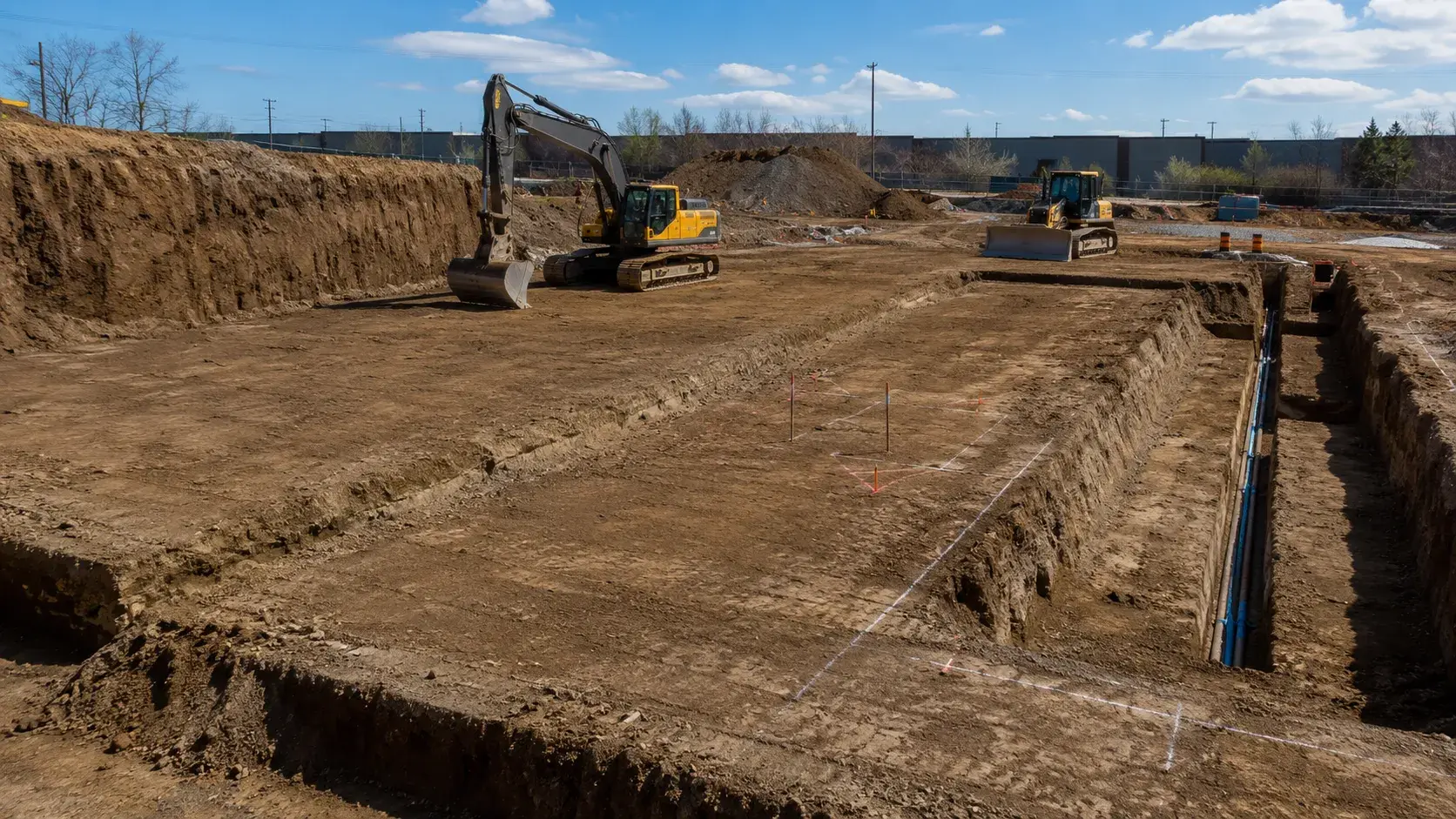
Site Excavation in Milton is the digging, cutting, and removal of soil and rock to prepare a site for foundations, servicing, and structures.
Tell us what you need and we’ll get you a quote.
Licensed, insured & WSIB-covered · Free, no-obligation quote & on-site assessment.
Built to your engineered drawings, survey, and the real site conditions, not a one-size-fits-all approach forced to fit.
Durable materials and methods chosen for the load, traffic, and environment on site.
Send specs, drawings, or photos and get a free, no-obligation site visit and estimate with no guesswork.
Installation and site work completed in accordance with Ontario requirements.
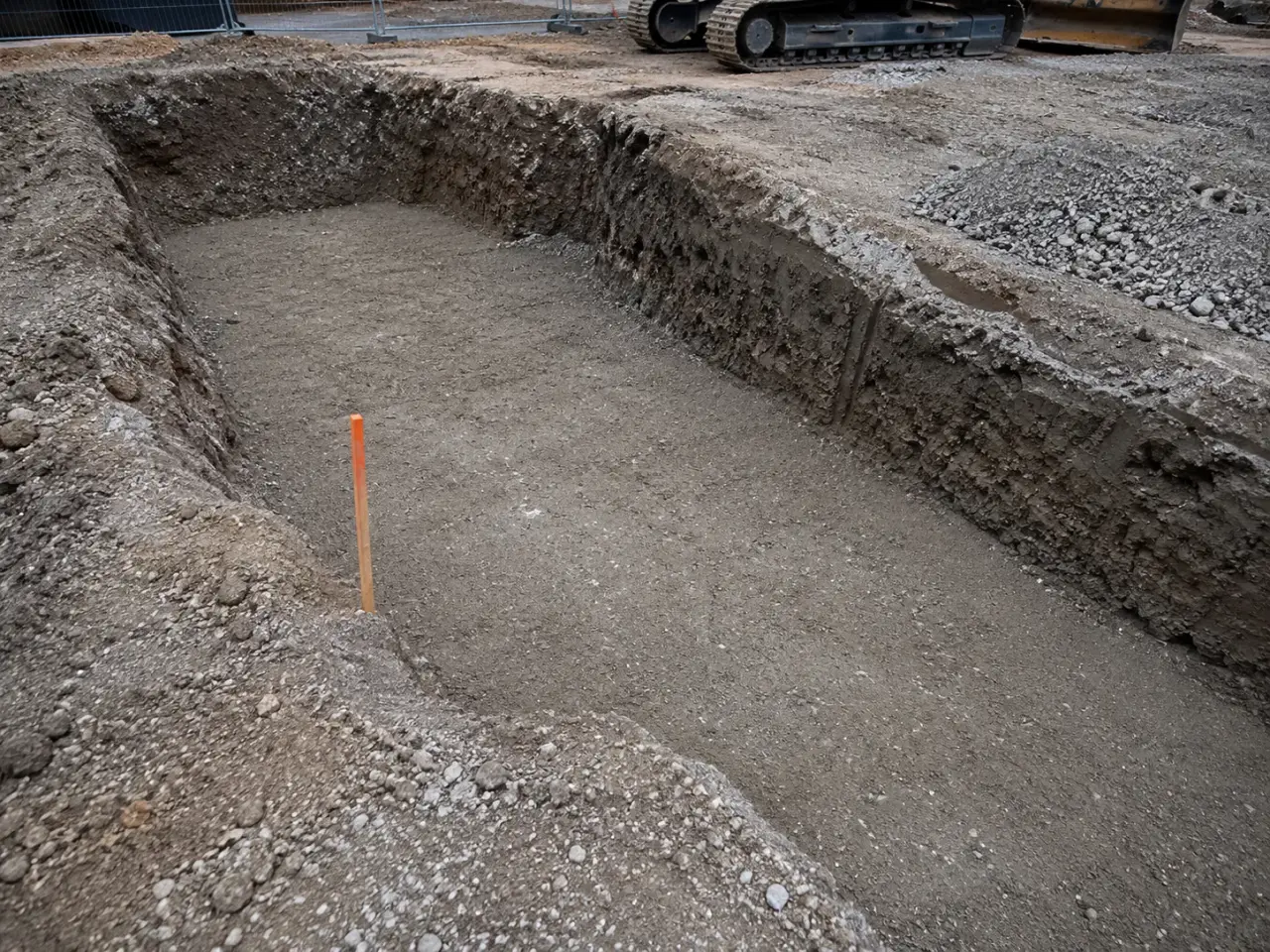
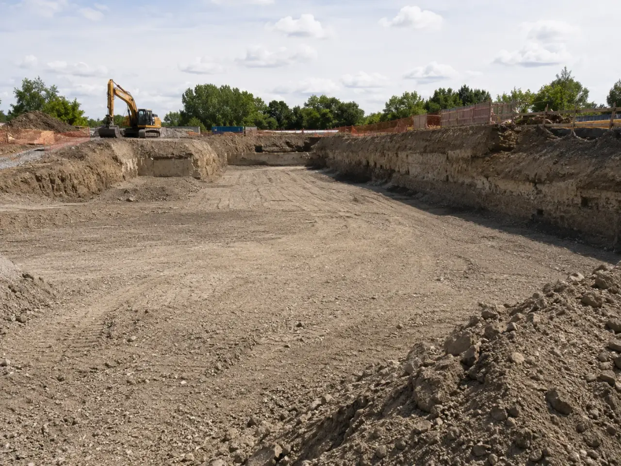
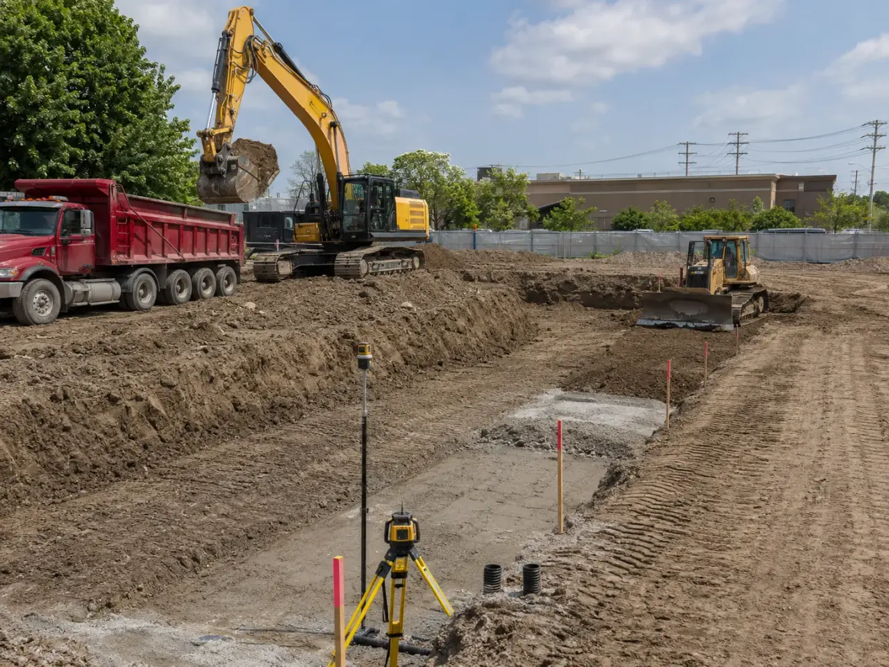
Site excavation is organized by soil class, environmental condition, design elevation, temporary stability, water, haul access, reuse destination, and the needs of foundations and utilities that follow.
Strip and bulk excavation. Topsoil and unsuitable surface material are separated before production cuts establish building pads, roads, ponds, and site platforms.
Foundation and pit excavation. Detailed cuts for footings, basements, elevators, sumps, and equipment pits protect bearing soil and coordinate with shoring and dewatering.
Utility corridor excavation. Trenches and structures are advanced around crossings, bedding, safe access, pipe installation, testing, and staged backfill.
Selective occupied-site work. Compact equipment, hydro excavation, phased trucking, monitoring, and protected routes reduce disruption where buildings or operations remain active.
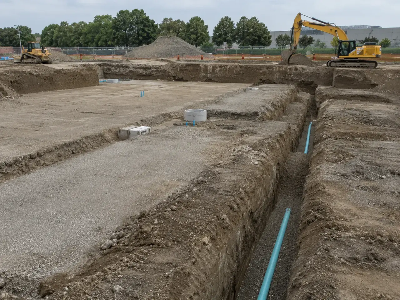
Step 1, Review survey, geotechnical and environmental reports, utilities, temporary works, groundwater, quantities, haul routes, destinations, and phasing.
Step 2, Install erosion controls, access, barriers, water management, wheel cleaning, shoring, and stable equipment platforms.
Step 3, Strip and excavate by surveyed zone while segregating topsoil, reusable soil, rock, impacted material, and unsuitable waste.
Step 4, Trim and protect bearing, bedding, and subgrade surfaces, obtain consultant releases, and install approved working material where directed.
Step 5, Backfill and grade released areas, reconcile survey and haul records, and hand foundations, utilities, roads, and landscaping documented conditions.
We begin by reconciling survey, geotechnical boreholes, utility records, demolition limits, cut quantities, permitted reuse areas, truck access, and the first foundations or services that need release. Topsoil and reusable granular are stripped separately. Excavators work from stable benches while dozers maintain haul roads and temporary drainage.
Grade control uses survey stakes, machine control where suitable, and frequent checks at transitions, not a final survey after the cut is already too deep. Suspect fill, buried slabs, soft seams, odour, staining, or unexpected water are isolated and recorded before being mixed into clean material.
Excavation advances in work zones sized to the next operation. We leave protection above sensitive subgrade until footings or granular can follow, use smooth buckets for final trimming, and avoid trafficking exposed bearing surfaces. Pumps, sumps, cut-off ditches, or a designed dewatering system keep water from softening the cut. Trucks are loaded by soil destination, documented where tracking applies, and routed over maintained exits that limit mud on public roads. Daily volume and elevation records show whether actual conditions still match the tender assumptions.
Planning site excavation in Milton? Talk it through with our team.
A complete scope can include clearing, topsoil stripping, bulk cuts, unsuitable-material removal, foundation and service excavation, temporary drainage, dewatering support, stockpiles, loading, legal haulage, rough grading, subgrade protection, proof review, and survey records. Harrowgate defines reuse, export, treatment, and restoration boundaries before production starts.
We review records, obtain current locates, compare markings with visible infrastructure, and daylight critical crossings using an appropriate low-risk method before mechanical excavation enters the tolerance area. If location, depth, material, or service status is uncertain, the work stops locally until the discrepancy is resolved and the excavation approach is revised.
Harrowgate isolates the area, records its elevation and extent, and requests geotechnical or environmental direction before blending or exporting it. Depending on the approved response, the material may be undercut, dried, stabilized, segregated, tested, reused in a less demanding zone, or taken to an authorized destination with the required tracking.
The contract may use pre-cut and post-cut survey surfaces, truck tickets, scale records, theoretical drawing volumes, or an agreed combination. Survey surfaces are most useful for mass excavation, while tickets document exported or imported loads. Harrowgate separates pay quantities from bulking, shrinkage, stripping, and unsuitable material so the comparison remains meaningful.
Some production can continue if haul roads, slope stability, discharge controls, and receiving areas remain suitable. Final subgrade cutting is often protected or deferred because traffic and bucket action can remould saturated soil. Harrowgate uses temporary ditches, sumps, granular working surfaces, covers, and sequenced release areas to preserve critical grades.
Requirements depend on the project, material, quantity, source area, and destination. Projects subject to reuse planning may require assessment of past uses, sampling and analysis, characterization, destination assessment, registration, and load tracking. Harrowgate works from the project leader's approved soil plan and keeps source, carrier, quantity, and destination records aligned.
Useful information includes existing and proposed contours, excavation and shoring limits, foundation elevations, utility surveys, geotechnical logs, groundwater observations, soil-management reports, haul assumptions, permitted stockpile areas, erosion controls, truck routes, working hours, and restoration scope. A sequence drawing is especially valuable where excavation shares access with foundations or live operations.
Current survey, civil and structural drawings, geotechnical and environmental information, utility records, groundwater data, shoring requirements, quantities, access restrictions, receiving criteria, and construction phasing support a reliable plan.
Excavation zones and stockpiles are identified by source and status, routed separately, protected from contamination and excess water, and released for reuse through the geotechnical or environmental requirements.
Still have a question about site excavation in Milton? Ask our team directly.
Commercial and heavy-civil construction delivered for developers, contractors, property managers, and municipalities.
Send drawings, a site plan, or a description of the scope. Harrowgate Group is licensed, insured, and WSIB-covered.
Licensed, Insured & WSIB-Covered, work managed and documented on every job
Tell us what you need and we’ll get you a quote.
Harrowgate Group provides site excavation, delivered and installed with quote-ready support across Toronto and surrounding Ontario communities.
Companies We've Worked With
Harrowgate Group delivers commercial and heavy-civil construction for developers, contractors, institutions, municipalities, and property groups across Ontario.
 Popeyes
  Tim Hortons
  Subway
  University of Toronto
  Madison Group
  RioCan
  Women's College Hospital
  Starbucks
  Mazda
Mazda  TD Bank
  City of Toronto Popeyes Tim Hortons Subway University of Toronto Madison Group RioCan Women's College Hospital Starbucks Mazda TD Bank City of Toronto